
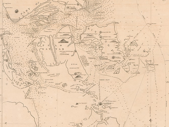
Cantino Planisphere is anonymously drawn using information from Asian mariners. Singapore’s name, Bargungapara, is thought to mean ‘Gateway to China.’
1502
The map’s maker is not known, and it is instead named after Albert Cantino, who commissioned the map in Lisbon, Portugal. An agent of the Duke of Ferrara, Cantino managed to obtain the most up-to-date information on Portuguese exploration discoveries and established trading routes, much of which was reflected in the map.
This was vital information as discovery of sea routes enabled Portugal to break the Italian monopoly on trade with the east, establishing itself as the new centre of trade between Asia and Europe. Many copies were made of the map in Italy, Germany, and Central Europe throughout the 16th century.
The map depicts the Malayan Peninsula an elongated promontory that reaches south of the equator. Singapore is indicated in red inscription on the map as “Bargungapara”, an alternative rendering of “Barxingapara” or a possible corruption of Arabic/Turkish
“barr-Cin” (coast/land or kingdom of China) and “gopara/gapura” (gateway).
Other Maps


Be sure to reserve your tickets early for this immersive experience that showcases key moments in Singapore's 700-year history.
Be sure to reserve your tickets early for this immersive experience that showcases key moments in Singapore's 700-year history.