
Map maker Jacques-Nicolas Bellin updated a series of maps which was relied on heavily by 18th-century navigators exploring the Straits of Malacca. Singapore is referred to as Pulo ou Isle Panjang (‘long island’ in Malay), a name which influenced subsequent Dutch and English maps.
1755
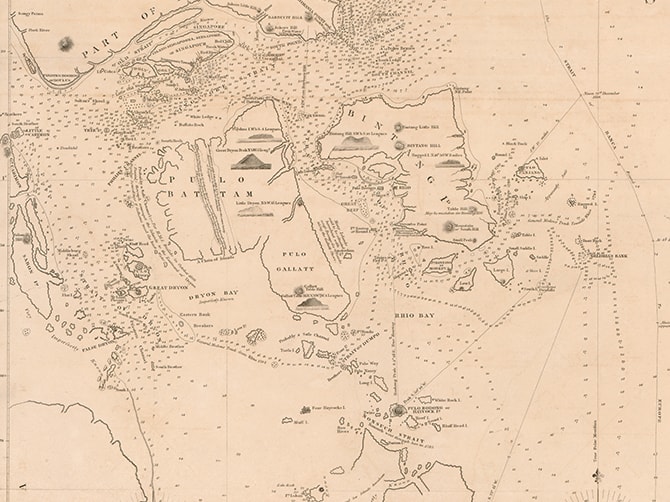
When the map’s maker, Jacques-Nicolas Bellin, was appointed French Royal Hydrographer, he updated a series of maps for several key publications in the 18th century. The map shows the southern part of the Malay peninsula, the island of Singapore and the eastern part of Sumatra. It refers to Singapore as “Pulo ou Isle Panjang”, which means Long Island in Malay, and was often used by navigators in the Straits of Malacca. This naming also influences subsequent Dutch and English maps. The map also contains an error, where the Johor Strait was mistakenly labelled as the Old Strait of Singapore.
Other Maps


Be sure to reserve your tickets early for this immersive experience that showcases key moments in Singapore's 700-year history.
Be sure to reserve your tickets early for this immersive experience that showcases key moments in Singapore's 700-year history.